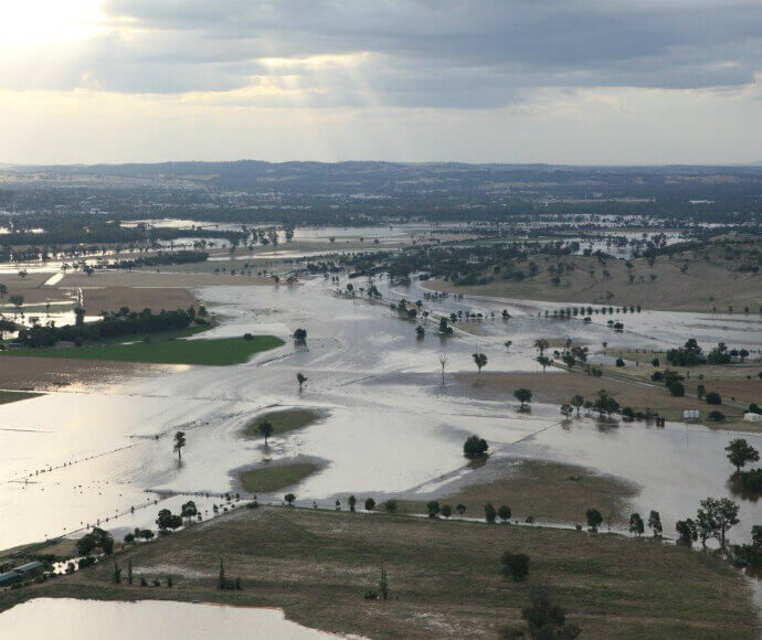
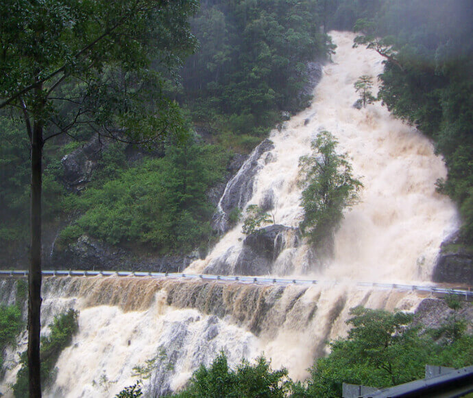
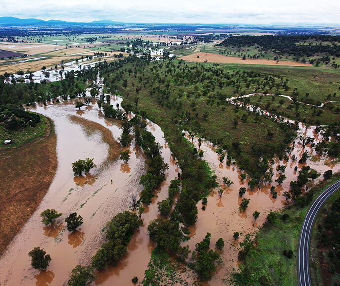
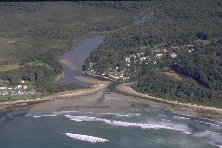
Floodplains Programs, guidelines and assistance are available to help councils and communities deal with the impacts of flooding.photo_cameraOpen description Nepean River, Penrith Lakes, floodplain view from Hawkesbury Lookout in the Blue Mountains closeClose descriptionImage Credit: Rosie Nicolai/DCCEEW Managing floodplains We support councils and communities to help reduce flood risk.east Floodplain Management Program We partner with local government to manage flood risk and build community resilience through the Floodplain Management Program.east Floodplain management grants The NSW Government's floodplain management grants support local government to manage flood risk.east Flood Recovery and Resilience Grant Program The Flood Recovery and Resilience Grant Program will offer technical and financial support to eligible local government areas to manage flood risk.east Flood Risk Management Manual The Flood Risk Management Manual and the Flood Prone Land Policy guide local councils in managing flood risk to their communities.east Flood risk management toolkit The flood risk management toolkit provides extra support for councils to understand and manage flood risk to their communities.east NSW flood data portal The NSW flood data portal makes it easy for government agencies and partner organisations to share key flood information.east