Why do we need water for the environment?
Covering an area of 81,527 square kilometres, the Murrumbidgee catchment includes 26 storage or diversion structures, along with a 1690-kilometre stretch of the river, and surrounding wetlands.
Water for the environment targets fringing lagoons on the Murrumbidgee River, swamps and creeks; the Murrumbidgee Irrigation Area (MIA) wetlands, including Ramsar-listed Fivebough and Tuckerbil swamps; and the lower Murrumbidgee floodplain, which includes the Nimmie Caira and Redbank systems and incorporates Yanga National Park.
In the Murrumbidgee valley, water for the environment supports a range of wetland communities, providing habitat and breeding opportunities for flora and fauna, as well as refuge during times of natural flow-variation. Threatened species, including brolgas, the Australasian bittern, the Southern bell frog and the fishing bat, benefit from flows.
Working together
The Murrumbidgee Environmental Water Advisory Group provides advice to the Department of Climate Change, Energy, the Environment and Water on watering priorities on public and private lands, with the support of landholders.
There are important Indigenous cultural sites throughout the Murrumbidgee valley catchment, including the Koonadan sandhill — a burial site adjacent the Tuckerbil wetlands.
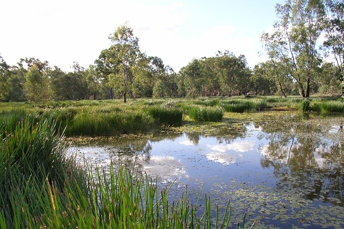
Lowbidgee and Yanga 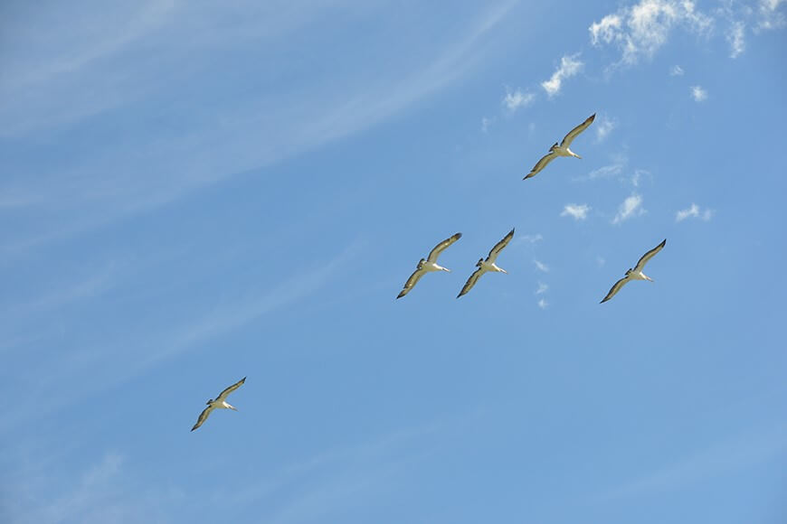
Pelicans in flight over Paika Lake, Narwie 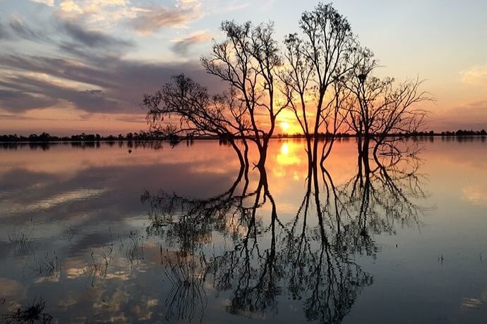
Paika Lake at sunset 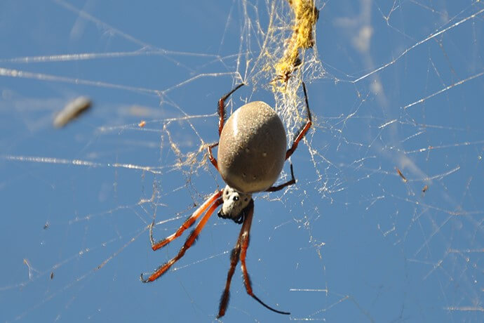
A golden orb weaver (Nephila sp) at the Redbank Wetlands 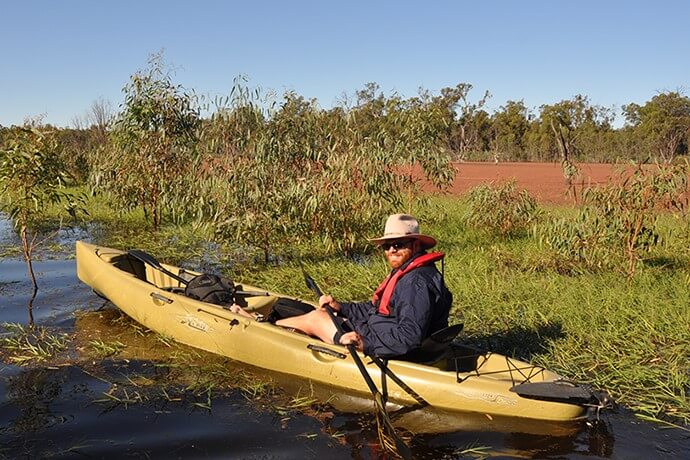
DCCEEW staff inspecting a lagoon from canoe in the Murrumbidgee 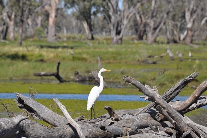
Egret (Ardea alba) resting on a log in the Redbank Wetlands 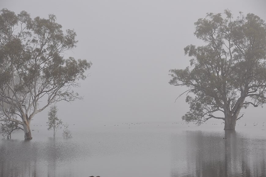
Mist over Piggery Lake, Yanga National Park 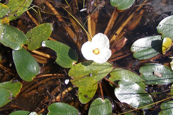
A swamp lily (Ottelia ovalifolia) in bloom after environmental watering 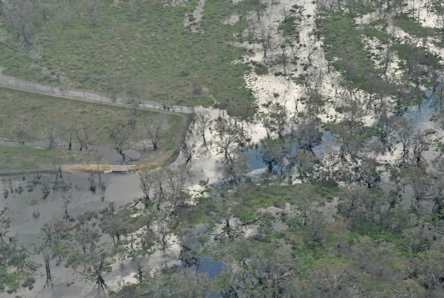
Aerial view Devils Creek Regulator, Lowbidgee Wetlands, Yanga National Park 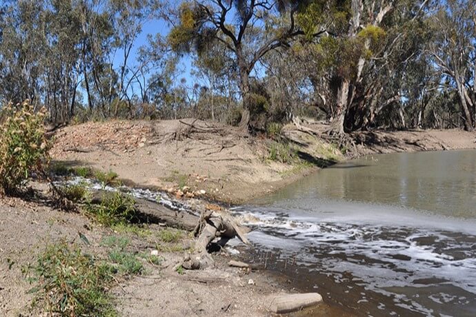
Return flows are the subject of research being conducted in the North Redbank wetland system
More information
- Murrumbidgee Water Resource Plan Area
- Cooperative management of environmental water to improve river and wetland health in NSW
- Vegetation Mapping Project: Executive summary
- Long-term water plans
- Murrumbidgee Long-Term Water Plan
- Water Sharing Plan for the Murrumbidgee Regulated River Water Source (PDF 2.4MB)download file
- Murray Darling Basin Authorityopens a new window
- Murray Darling Basin Planopens a new window
- Commonwealth Environmental Water Holder – Murrumbidgeeopens a new window