Benambra National Park and Tabletop Nature Reserve Plan of Management
The national park and nature reserve are small island remnants of the once common Box Woodland vegetation community and are significant as fragmented vegetated links between the forested country to the south (including Woomargama National Park) and the open woodland country to the north (including Livingstone National Park, Nest Hill Nature Reserve and The Rock Nature Reserve).
The vegetation of Benambra National Park is comprised of up to 7 distinct forest ecosystems while that of Tabletop Nature Reserve is comprised of 5 ecosystems. This diversity of vegetation supports a range of animals, including threatened species.
A total of 77 Aboriginal artefacts have been recorded from the national park and it also contains a cave that was reputedly used in the 1860s as a refuge for the notorious bushranger Mad Dog Morgan.
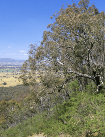
Photo: Low woodland on sandstone escarpment in Benambra National Park / Botanic Gardens Trust/J Plaza