Mount Kaputar National Park Plan of Management
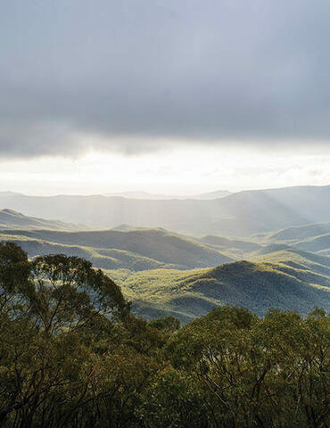
Mount Kaputar National Park comprises the largest area of remnant vegetation in the Nandewar Region and is therefore of great significance in terms of the conservation of native plants. With an altitudinal range of over 1000 metres, the park includes a number of clearly defined vegetation zones from semi-arid woodland and open forest to sub-alpine and heathland communities.
Mount Kaputar National Park contains many outstanding examples of landforms associated with volcanism. These include a circular set of dykes and the remains of numerous tiered lava terraces. Another significant geomorphological site is Sawn Rocks, the name given to one of the best examples of columnar jointing in Australia.
The plan of management outlines park values and how the park will be managed in the years ahead. The plan of management was adopted in 2006 and amended in 2021 (to enable bitumen sealing of Summit Road and improve management of recreational four-wheel-driving on the Barraba Track).
