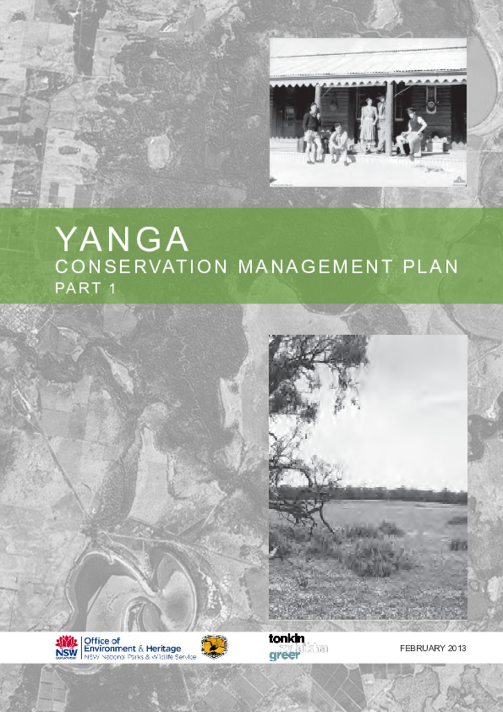
Yanga Conservation Management Plan

The Yanga (now Murrumbidgee Valley) Reserves comprise Yanga National Park, Yanga Nature Reserve and Yanga State Conservation Area. The place is generally referred to in this report as the Yanga Reserves.
The Conservation Management Plan will inform the Plan of Management for the Yanga Reserves, which will be prepared by the Department following completion of this report. The preparation of this CMP further indicates the long-term commitment of the PWG to the conservation of the cultural sites within the state’s National Parks.
This report analyses the history and surviving physical fabric and landscape elements of the Yanga Reserves. GIS maps have been produced that locate specific items on the site. Maps, photographs and diagrams inform the historical and physical description of the site when it was a pastoral station.
- Yanga National Park, Yanga State Conservation Area and Yanga Nature Reserve Draft Plan of Management
(link is external) - Yanga Conservation Management Plan Part 1 (parts 1 to 2) (PDF 9.4MB)
- Yanga Conservation Management Plan Part 1 (part 3a) (PDF 6.4MB)
- Yanga Conservation Management Plan Part 1 (part 3b) (PDF 16.3MB)
- Yanga Conservation Management Plan Part 1 (parts 4 to 5) (PDF 3.1MB)
- Yanga Conservation Management Plan Part 2 (PDF 13.3MB)
- Yanga Conservation Management Plan Site Plan Implementation (PDF 2.5MB)
Visitor information
Yanga National Park
Photo: Yanga Lake, Yanga National Park / David Finnegan / NSW Government
