Nymboi-Binderay National Park and State Conservation Area Plan of Management
The Nymboi-Binderay parks occupy an important position in an extensive belt of forest covering the eastern fall of Dorrigo Plateau. These parks support a range of natural values, including old-growth forests listed on the State Heritage Register. Seven threatened plants (including the endangered Dorrigo daisy bush) and 36 threatened animals (including the Hastings River mouse and pouched frog) occur in these parks.
These parks lie within Gumbaynggirr Country and host a number of significant heritage features, including traditional pathways, scarred trees, artefacts and camp sites. European heritage relates to the past timber industry and includes physical remains such as timber tramlines and logging arches.
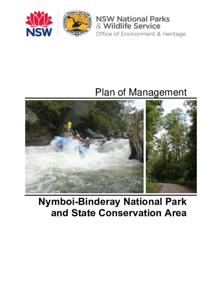
The wild and scenic, nationally significant Nymboida River runs through these parks. The river is a major water supply for the Clarence–Coffs region, supports a wild breeding population of the endangered eastern freshwater cod, and is used for commercial and recreational whitewater rafting.