About the bioregion
In New South Wales, the South East Queensland bioregion is bounded by the NSW North Coast bioregion in the south and to the west. It extends from northern New South Wales into Queensland.
Before IBRA version 6, the South East Queensland bioregion did not extend beyond the Queensland border. A large part of what was the NSW North Coast bioregion is now South East Queensland, which now extends 200 km south to encompass Grafton.
The South East Queensland bioregion is a popular place to live, with many holiday towns lining the coast and eastern inland.
The Clarence, Richmond and Tweed river catchments are all in this bioregion.
The climate ranges from sub-tropical in the east through to temperate in the uplands. There is a small area at higher elevation in the south-west with a montane climate.
There is a wide variety of soils, vegetation, climate and topography within this bioregion. The South East Queensland bioregion has over 300 threatened animal and plant species.
Read Chapter 14, the North Coast Bioregion, in Bioregions of New South Wales: Their biodiversity, conservation and history for more information on the North Coast and South East Queensland bioregions.
Bioregion area
- 7,804,921 hectares in total
- 1,655,317 hectares in New South Wales
Parks, reserves and conservation areas
This bioregion includes:
- Arakwal National Park
- Border Ranges National Park
- Broadwater National Park
- Broken Head Nature Reserve
- Bundjalung National Park
- Cape Byron State Conservation Area
- Gibraltar Range National Park
- Iluka Nature Reserve
- Koreelah National Park
- Mebbin National Park
- Moore Park Nature Reserve
- Nightcap National Park
- Richmond Range National Park
- Tooloom National Park
- Toonumbar National Park
- Tweed Heads Historic Site
- Tyagarah Nature Reserve
- Victoria Park Nature Reserve
- Washpool National Park
- Yuraygir National Park.
Coorabakh National Park 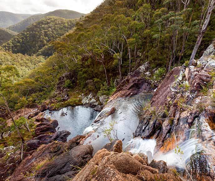
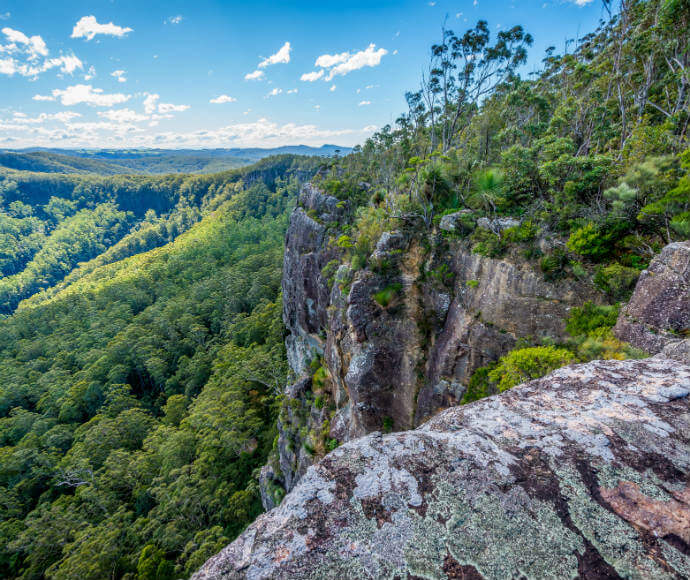
Duffer Creek Gibraltar Range National Park on the Gibraltar Washpool World Heritage Walk 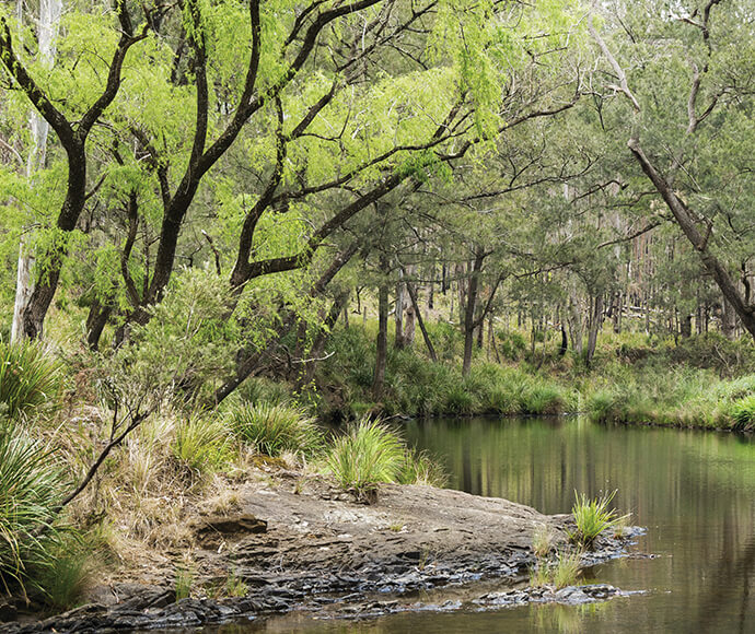
Koreelah National Park 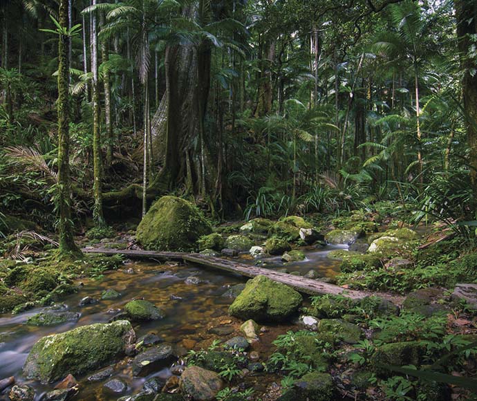
Protestors Falls The Channon, Nightcap National Park 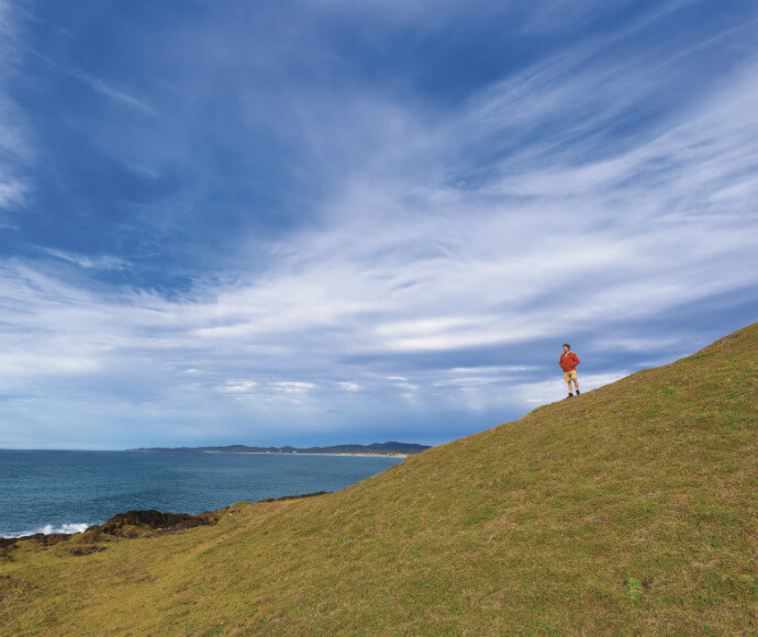
Coastal Walk, Yuraygir National Park 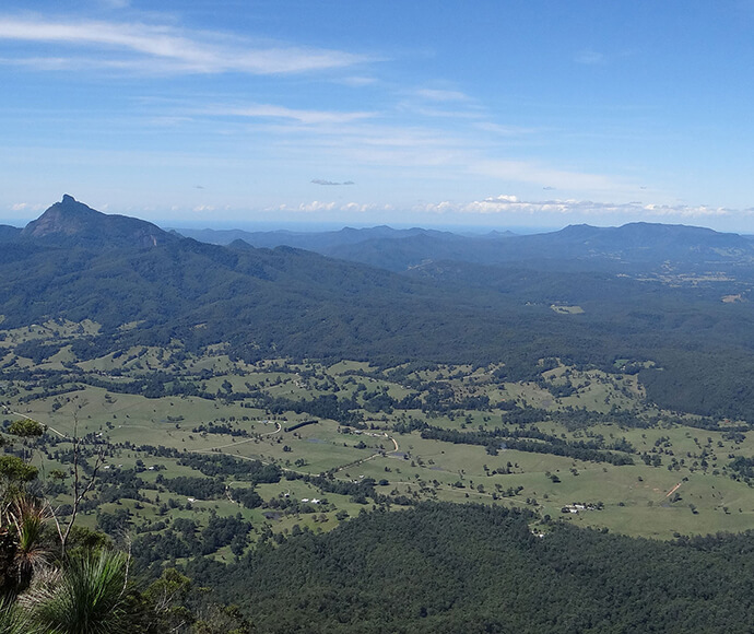
Wollumbin (Mt Warning) from Pinnacle Lookout, Border Ranges National Park 
Walking track, Tooloom National Park