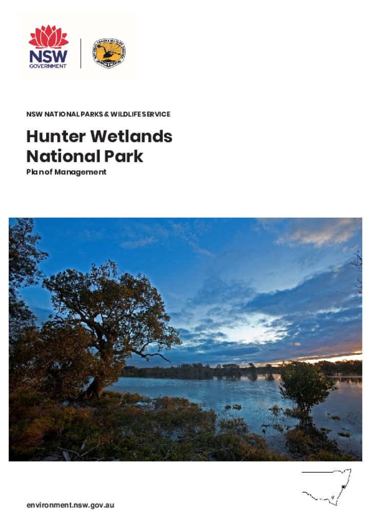
Hunter Wetlands National Park Plan of Management
The park is part of a green corridor stretching from the Watagan Ranges through to Hexham Swamp and Port Stephens. The wetland system in the park is listed under the Ramsar Convention on Wetlands and is of exceptional conservation value. It contains the second largest area of mangroves in New South Wales and extensive areas of coastal saltmarsh. The plan of management will support the protection of these significant environmental assets. This park was not affected by the 2019-20 bushfires.
The park is important to the Newcastle community as a free, accessible, recreational park for uses such as walking, birdwatching, cycling and fishing. As well as supporting wetland restoration, the plan will enable upgrades of walking tracks and the development of cycling trails.
This is the first Plan of Management for this park.
