Jerusalem Creek is a lagoon with an intermittently closed/open entrance. It is located within Bundjalung National Park on the north coast of New South Wales.
The estuary is an important shallow lagoon wetland system with largely undisturbed grasslands and riparian vegetation communities.
Water quality report card
As part of our water quality monitoring program we assess the water quality and ecosystem health of an estuary using a range of relevant indicators. We sample a subset of the estuaries located between the Queensland border and Taree every 3 years. The most recent sampling in Jerusalem Creek was completed over the 2018–19 summer, when 2 sites were sampled on a monthly basis.
This report card represents 2 water quality indicators that we routinely measure: the amount of algae present and water clarity. Low levels of these 2 indicators equate with good water quality.
Algae
Water clarity
Overall grade
The report card shows the condition of the estuary was excellent with:
- algae abundance graded excellent (A)
- water clarity graded excellent (A)
- overall estuary health graded excellent (A).
Grades for algae, water clarity and overall are represented as:
- A – excellent
- B – good
- C – fair
- D – poor
- E – very poor.
Go to estuary report cards to find out what each grade means, read our sampling, data analysis and reporting protocols, and find out how we calculate these grades.
We have monitored water quality in Jerusalem Creek since 2009. This table shows the water quality grades for this estuary over that time.
| Year | Algae | Water clarity | Overall grade |
|---|---|---|---|
| 2009–10 | B | B | B |
| 2012–13 | A | A | A |
| 2015–16 | B | A | A |
Physical characteristics
| Estuary type | Lagoon |
|---|---|
| Latitude | –29.21 (ºS) |
| Longitude | 153.39 (ºE) |
| Catchment area | 48.3 km2 |
| Estuary area | 0.3 km2 |
| Estuary volume | 178.9 ML |
| Average depth | 0.6 m |
Notes: km2 = square kilometres; m = metres; ML = megalitres.
Water depth and survey data
Bathymetric and coastal topography data for this estuary are available in our data portal.
Land use
The catchment of Jerusalem Creek falls within the protection of Bundjalung National Park and is barely disturbed today. Commercial sand mining occurred between 1932 and 1982 and a large pile of tailings remain west of the creek. There is also a small camping area and some unsealed roads near Jerusalem Creek.
National and marine parks
- Jerusalem Creek is located within Bundjalung National Park.
- There are no marine parks associated with this estuary.
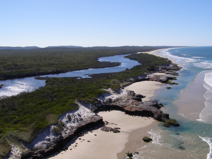
Aerial view of Jerusalem Creek
Local government management
Local councils manage estuaries within their area unless the estuary is attached to a marine park.
Jerusalem Creek is managed by Richmond Valley Council.
Threatened species
A population of the endangered sand spurge has been discovered within Bundjalung National Park near Jerusalem Creek estuary. Sand spurge is a herb that grows on sand dunes, forming mats up to one metre wide. It is sparse along the NSW coast.
Read more about the biodiversity in our estuaries.