Copeland Tops State Conservation Area Plan of Management
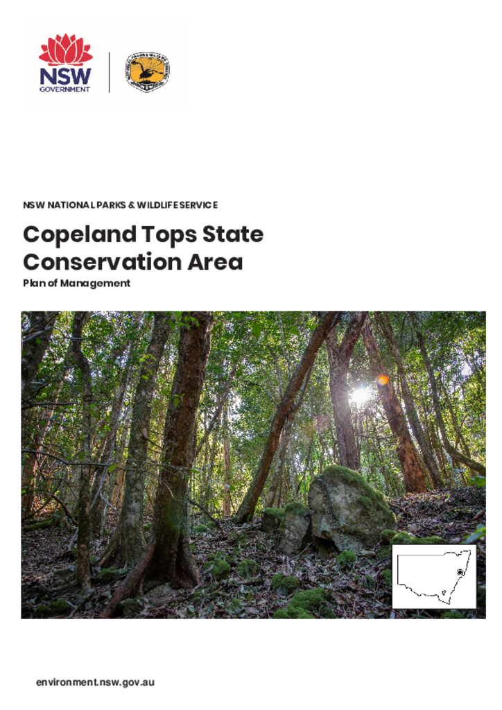
Copeland Tops State Conservation Area is in the hinterland of the NSW Mid North Coast. The reserve covers 2420 hectares of land, and lies within the traditional Country of the Worimi and Biripi People.
Publisher: Department of Planning, Industry and Environment
Cost: Free
Language: English
ISBN: 978-1-922318-27-5
/
ID: EES20200042
File: PDF 2.61 MB / Pages 40
Name: copeland-tops-state-conservation-area-plan-of-management-20200042.pdf
Copeland Tops State Conservation Area forms part of a regional network of reserves including Barrington Tops National Park, Woko National Park and The Glen and Berric Nature Reserves. The park protects important remnant vegetation, provides recreational opportunities and has significant shared and cultural heritage.
The plan of management enables improvements to visitor facilities within the reserve, including installation of basic camp facilities. The plan will provide continued protection of habitat that supports several threatened species and will help mitigate impacts to the parks’ natural and cultural values.
This is the first plan of management for this park.