Burrill Lake is located on the south coast of New South Wales near Ulladulla. It is classed as a lake and has an untrained entrance. The entrance is usually open because of the southern rocky shoreline that helps to maintain a channel.
Burrill Lake has been a popular holiday destination for a long time, with a bridge built over the lower estuary in 1881. The name Burrill derives from an Aboriginal word meaning wallaby.
Water quality report card
As part of our water quality monitoring program we assess the water quality and ecosystem health of an estuary using a range of relevant indicators. We sample a subset of the estuaries between Wollongong and the Victorian border every 3 years. The most recent sampling in Burrill Lake was completed over the 2017–18 summer, when 3 sites were sampled on a monthly basis.
This report card represents 2 water quality indicators that we routinely measure: the amount of algae present and water clarity. Low levels of these 2 indicators equate with good water quality.
Algae
Water clarity
Overall grade
The report card shows the condition of the estuary was excellent with:
- algae abundance graded excellent (A)
- water clarity graded excellent (A)
- overall estuary health graded excellent (A).
Grades for algae, water clarity and overall are represented as:
- A – excellent
- B – good
- C – fair
- D – poor
- E – very poor.
Go to estuary report cards to find out what each grade means, read our sampling, data analysis and reporting protocols, and find out how we calculate these grades.
We have monitored water quality in Burrill Lake since 2007. This table shows the water quality grades for this estuary over that time.
| Year | Algae | Water clarity | Overall grade |
|---|---|---|---|
| 2007–08 | B | B | B |
| 2008–19 | B | A | B |
Physical characteristics
| Estuary type | Lake |
|---|---|
| Latitude | –35.4 (ºS) |
| Longitude | 150.45 (ºE) |
| Catchment area | 60.7 km2 |
| Estuary area | 4.4 km2 |
| Estuary volume | 17,652.7 ML |
| Average depth | 4.3 m |
Tidal exchange volume
Tidal exchange volume or tidal prism data is available for this estuary. This tidal prism was measured in 2001.
| Tide state | Flow (ML) | Local tidal range (m) | Sydney Harbour tidal range (m) |
|---|---|---|---|
| Ebb flow | 390 | 0.54 | 1.22 |
| Flood flow | 300 | 0.49 | 1.24 |
Notes: km2 = square kilometres; m = metres; m3 = cubic metres; ML = megalitres.
Water depth and survey data
Bathymetric and coastal topography data for this estuary are available in our data portal.
Land use
The catchment of Burrill Lake is moderately disturbed with nearly half of the land being used for rural residential development and grazing around Woodstock and Croobyar. About 40% of the catchment is forested, some of which lies in Meroo National Park and Morton National Park. Less than 10% of the catchment is urban and includes the townships of Milton, Burrill Creek and Kings Park.
National and marine parks
- Morton National Park is the largest conservation area within this catchment. The catchment also includes part of Meroo National Park.
- This estuary does not flow into a marine park.
Citizen science projects
- The Budawang Coast Nature Map is an online data platform the community can use to record and identify biodiversity. Data collected is used to map the distribution of native plant and animal species from Moruya up almost to Kiama.
Community involvement
- The Shoalhaven Landcare Association represents a range of volunteer groups working in and around the Burrill Lake catchment.
- South East Landcare is an umbrella organisation that supports other Landcare and environmental groups in the local area.
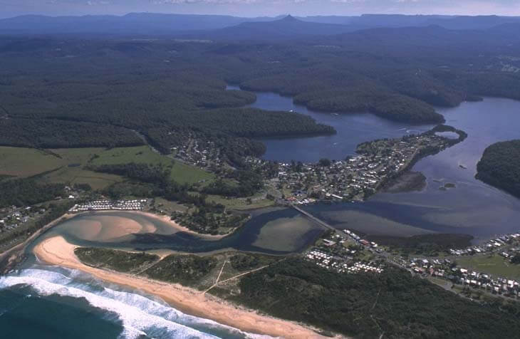
Aerial view of Burrill Lake estuary.
Local government management
Local councils manage estuaries within their area unless the estuary is attached to a marine park. This estuary is managed by Shoalhaven City Council.
Threatened species
The Burrill Lake catchment contains an endangered ecological community, the Milton Ulladulla subtropical rainforest.
Read more about the biodiversity in our estuaries.