Dee Why Lagoon is situated in the Sydney Metropolitan region of New South Wales. It is classed as a back-dune lagoon with an entrance that is intermittently open and closed to the ocean.
Northern Beaches Council has determined a water level height which, when reached, triggers the artificial opening of Dee Why Lagoon.
Water quality report card
As part of our water quality monitoring program we assess the water quality and ecosystem health of an estuary using a range of relevant indicators. We have supported Northern Beaches Council develop and carry out a monitoring program to assess the water quality of estuaries in their local government area. Sampling is carried out fortnightly between October and April each year during the warm summer period. One site is sampled in Dee Why Lagoon.
The monitoring program has been ongoing since 2010. The most recent sampling was completed over the 2023–24 summer.
This report card represents 2 water quality indicators that we routinely measure: the amount of algae present and water clarity. The numerical scores for these 2 indicators are averaged to give the overall grade.
Algae
Water clarity
Overall grade
The report card shows the condition of the estuary was fair with:
- algae abundance graded fair (C)
- water clarity graded good (B)
- overall estuary health graded fair (C).
Grades for algae, water clarity and overall are represented as:
- A – excellent
- B – good
- C – fair
- D – poor
- E – very poor.
Go to estuary report cards to find out what each grade means, read our sampling, data analysis and reporting protocols, and find out how we calculate these grades.
The past results of the monitoring program, including detailed water quality report cards, are available on the Northern Beaches Council website.
We have monitored water quality in the Dee Why Lagoon since 2010. This table shows the water quality grades for this estuary over the past 7 years.
| Year | Algae | Water clarity | Overall grade |
|---|---|---|---|
| 2023-24 | C | B | C |
| 2022-23 | C | B | B |
| 2021-22 | A | B | A |
| 2020–21 | A | B | B |
| 2019–20 | B | B | B |
| 2018–19 | C | C | C |
| 2017–18 | C | B | C |
Only the most recent 7 sampling seasons are shown here, previous water quality data is available here
Physical characteristics
| Estuary type | Back-dune lagoon |
|---|---|
| Latitude | –33.75 (ºS) |
| Longitude | 151.3 (ºE) |
| Catchment area | 4.3 km2 |
| Estuary area | 0.3 km2 |
| Estuary volume | 12.7 ML |
| Average depth | 0.1 m |
Notes: km2 = square kilometres; m = metres; ML = megalitres.
Water depth and survey data
Bathymetric and coastal topography data for this estuary are available in our data portal.
Land use
The catchment of Dee Why Lagoon is highly disturbed. Almost the entire catchment is used for urban development.
National and marine parks
- There are no conservation areas within this catchment.
- This estuary does not flow into a marine park.
Community involvement
- Northern Beaches Council facilitate a Bushcare Program for local residents to get involved in conservation and restoration of the natural environment around Dee Why Lagoon.
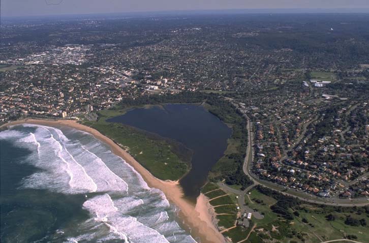
Aerial view of Dee Why Lagoon estuary
Local government management
Local councils manage estuaries within their area. Where the estuary is attached to a marine park, marine park management teams are responsible for ensuring compliance with park zoning. Northern Beaches Council manages this estuary.
Threatened species
Estuaries are important to our native animals as they provide food, shelter and breeding grounds.
Find out more about the biodiversity in our estuaries.