Dowe National Park Plan of Management
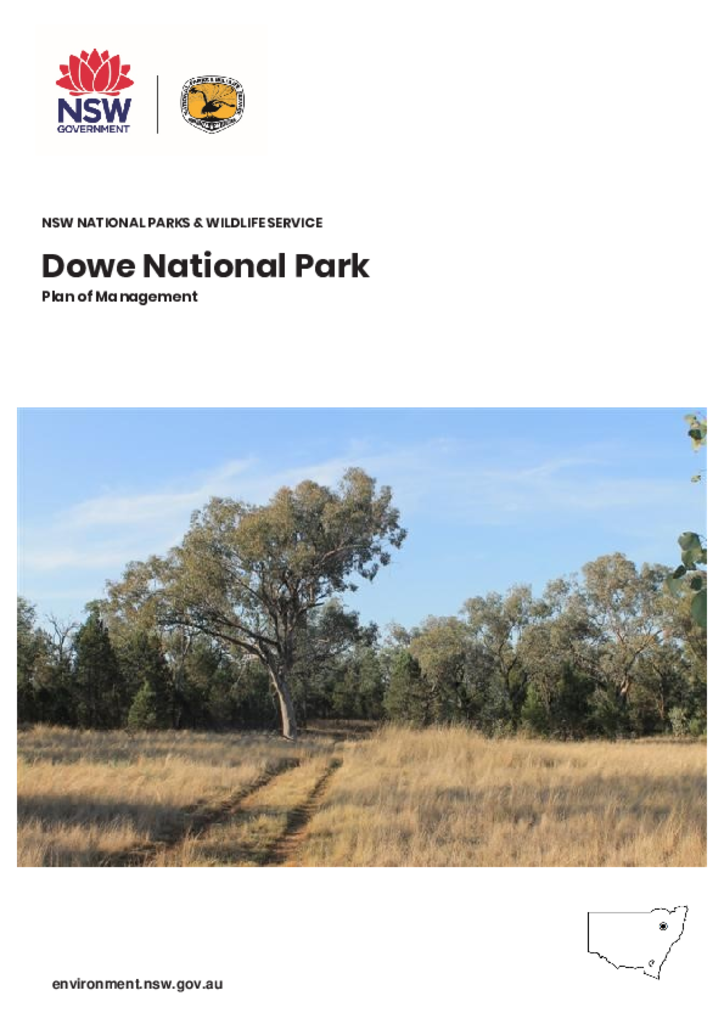
Dowe National Park is located approximately 21 kilometres west-south-west of Manilla. The park is 381 hectares, with a boundary 11.8 kilometres long. It forms part of the catchment for Captains Gully which flows into the Namoi River (Keepit Dam). Access to Dowe National Park is off Edgerton Lane.
Publisher: Department of Planning, Industry and Environment
Cost: Free
Language: English
ISBN: 978-1-922317-16-2
/
ID: EES20190536
File: PDF 476.27 KB / Pages 23
Name: dowe-national-park-plan-of-management-190536.pdf
Dowe National Park is one of the parks established under the Brigalow and Nandewar Community Conservation Area Act 2005 and as such forms part of a chain of parks stretching the length of the Brigalow Belt South and Nandewar bioregions. It forms an important remnant of native vegetation in a highly cleared and fragmented landscape.
The park lies in the Tamworth Regional Local Government Area and the Gunnedah Local Government Area. It is located in the area of the Tamworth Local Aboriginal Land Council and is within the traditional lands of the Gamilaroi.