About the bioregion
The New England Tableland bioregion lies between the North Coast and Nandewar bioregions in northeast New South Wales, extending north just into Queensland.
In New South Wales, the bioregional boundary extends from north of Tenterfield to south of Walcha.
This bioregion includes parts of the MacIntyre, Clarence, Gwydir, Macleay, Namoi and Manning river catchments.
The climate is mainly temperate to cool temperate, with montane climate at higher elevations. The north-eastern boundary has a warmer, sub-humid climate.
Open forests and woodlands, with a variety of species depending on soil type, are the main vegetation. There are several threatened animal and plant species, including the endangered regent honeyeater (Anthochaera phrygia).
There are several national parks and nature reserves, with some private land conservation arrangements. The Ramsar-listed Little Llangothlin Nature Reserve wetland is in this bioregion.
Read Chapter 13, the New England Tableland Bioregion, in Bioregions of New South Wales: Their biodiversity, conservation and history for more information.
Bioregion area
- 3,002,213 hectares in total
- 2,857,082 hectares in New South Wales
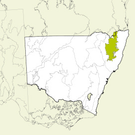
Map showing the New England Tableland bioregion
Parks, reserves and conservation areas
This bioregion includes:
- Bald Rock National Park
- Boonoo Boonoo National Park
- Cathedral Rock National Park
- Cottan-Bimbang National Park
- Cunnawarra National Park
- Gibraltar Range National Park
- Guy Fawkes River National Park
- Little Llangothlin Nature Reserve
- Mann River Nature Reserve
- Mother of Ducks Lagoon Nature Reserve
- Mummel Gulf National Park
- New England National Park
- Nymboida National Park
- Oxley Wild Rivers National Park
- Stonewoman Aboriginal Area
- Torrington State Conservation Area
- Warrabah National Park
- Washpool National Park
- Werrikimbe National Park.

Boonoo Boonoo Falls, Boonoo Boonoo National Park 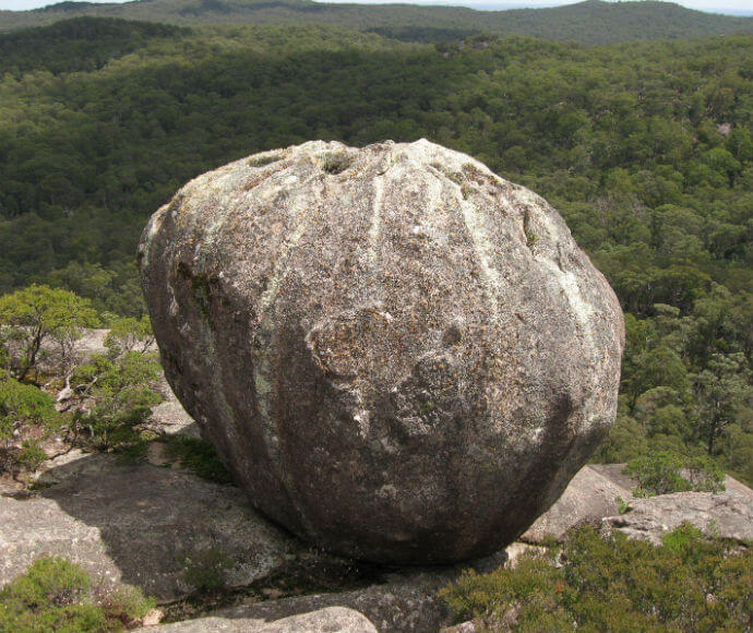
Cathedral Rock National Park 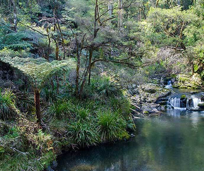
Cottan-Bimbang National Park 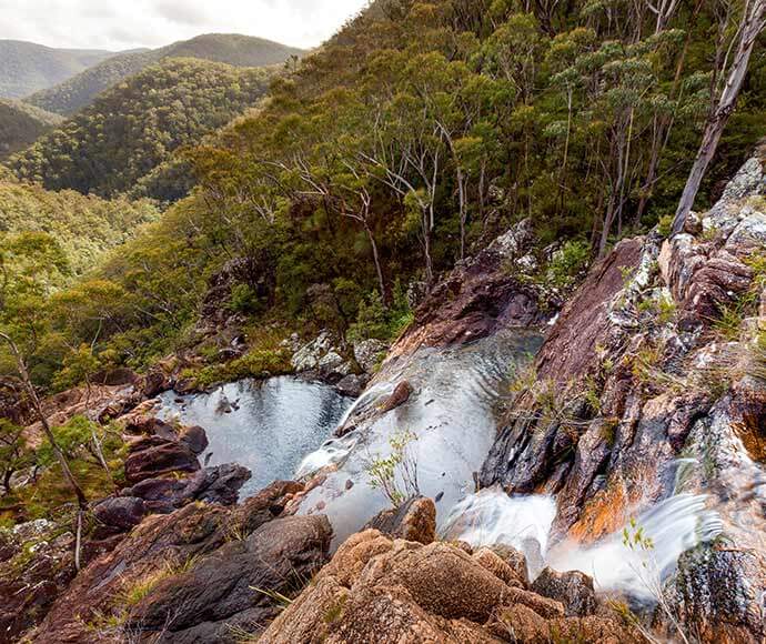
Duffer Creek Gibraltar Range National Park on the Gibraltar Washpool World Heritage Walk 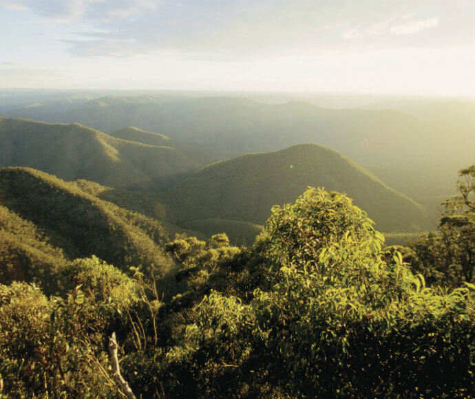
Misty Creek lookout, Guy Fawkes River National Park 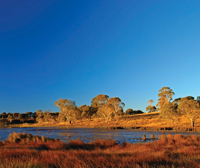
Little Llangothlin Nature Reserve, Northern Tablelands 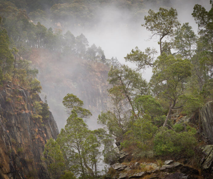
Aspley Gorge, Oxley Wild Rivers National Park 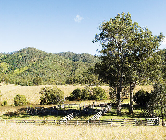
Stockyard, East Kunderang historic homestead farmland venue for hire Oxley Wild Rivers National Park