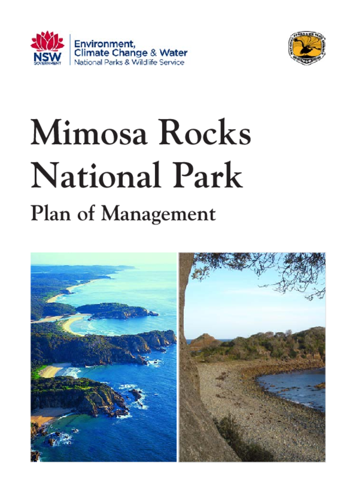
Mimosa Rocks National Park Plan of Management
Mimosa Rocks National Park covers 5,804 hectares between Tathra and Bermagui on the Far South Coast of NSW. It includes 20 kilometres coastline as well as areas of hinterland forest.
Publisher: Department of Environment, Climate Change and Water (NSW)
Cost: Free
Language: English
ISBN: 978-1-74293-219-4 / ID: DECCW20110246
File: PDF 715.91 KB / Pages 86
Name: mimosa-rocks-national-park-plan-of-management-110246.pdf
The park conserves three endangered ecological communities, including an area of rainforest at Bunga Head, and provides habitat for three endangered bird species and for 19 vulnerable animals. It also contains fossils from the Devonian period and most of the catchment of Nelson Creek, which is the principal tributary of Nelson Lagoon.
Mimosa Rocks National Park also contains places of cultural significance to local Aboriginal people, and evidence of past pastoral, timber harvesting, gold mining and recreational ventures. A local tradition of philanthropy, in which a number of neighbouring property owners have donated their land to the park, is a unique feature of this park.
