Crawney Pass National Park Community Conservation Area Zone 1 Plan of Management
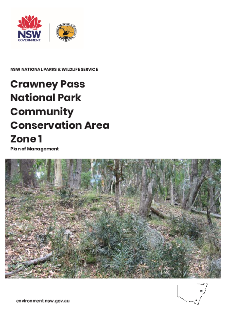
Crawney Pass National Park Community Conservation Area Zone 1 is located atop the Liverpool Range. To the north, the park drains into the Murray–Darling Basin and to the south it drains to the coast via the Hunter River. It is 22 kilometres south-west of Nundle, 70 kilometres south of Tamworth and 70 kilometres northeast of Scone.
Publisher: Department of Planning, Industry and Environment
Cost: Free
Language: English
ISBN: 978-1-922317-00-1
/
ID: EES20190485
File: PDF 767.2 KB / Pages 30
Name: crawney-pass-national-park-plan-of-management-190485.pdf
The park is 310.8 hectares, including 61.8 hectares that were added to the park in May 2018. The park has a linear shape, approximately four kilometres long and between 300 metres and one kilometre wide.
The park is part of a network of conservation reserves located on the Liverpool Range that includes Coolah Tops, Murrurundi Pass and Towarri national parks and Ben Halls Gap, Cedar Brush, Wallabadah and Wingen Maid nature reserves.