We conducted a pilot study in 2015–16 to help build a wetland inventory for the whole of New South Wales. The pilot study focused on developing and testing methods to map the location and extent of all wetlands in the Lachlan River catchment.
The objectives of the study were to:
- gather data for the Lachlan region and identify any knowledge gaps
- review and develop methods for mapping and classifying wetlands
- test these methods in the Lachlan region to find out if they’re suitable to be used across the state
- complete preliminary mapping and classification of wetlands in the Lachlan region
- find out what the user and operating needs are for an online access and delivery system
- talk to stakeholders and find out their views
- make recommendations for how the NSW Inventory Project could be set up.

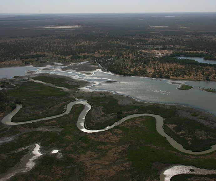
The Lachlan River and Nerran Lake, part of the Cumbung Swamp.
Why the Lachlan region was chosen
The Lachlan region was chosen for the pilot study because:
- The information it provided would be highly relevant for many users. This also meant we would be more likely to achieve a high level of user engagement in the study.
- It had a mix of wetland areas with little available data and others with plenty of data.
- The size of the area meant we could deliver the project within the required timeline.
We applied the following principles when making our decision.
Relevance and need
- The data gathered could be used to inform the Commonwealth long-term water planning schedule.
- There are no internationally significant wetlands (known as Ramsar sites) in the Lachlan region, so it could be of interest for Ramsar nominations.
- The region is under-represented in the reserve network operated by the NSW National Parks and Wildlife Service.
Data availability and feasibility
- The region was relatively rich in data that could be used for developing and testing mapping methods.
- The Lachlan River flowed through 3 climatic zones, and the catchment included upland and lowland areas, which meant we could test methods in a range of wetland types.
- Across the region various data-collection methods had already been used, which we could further develop and test. These included remote sensing (by satellite, for example) and LIDAR (Light Detection and Ranging – a method that uses pulsed laser to measure ranges).
- Ground-survey data already existed that we could use to further develop mapping methods. This included data in the NSW Vegetation Information System.