Tabourie Lake is classed as a back-dune lagoon with an intermittently closed entrance. It is located on the south coast of New South Wales, south of Ulladulla.
Water quality report card
As part of our water quality monitoring program we assess the water quality and ecosystem health of an estuary using a range of relevant indicators. We sample a subset of the estuaries between Wollongong and the Victorian border every 3 years. The most recent sampling in Tabourie Lake was completed over the 2014–15 summer, when 2 sites were sampled on a monthly basis.
This report card represents 2 water quality indicators that we routinely measure: the amount of algae present and water clarity. Low levels of these 2 indicators equate with good water quality.
Algae
Water clarity
Overall grade
The report card shows the condition of the estuary was fair with:
- algae abundance graded good (B)
- water clarity graded very poor (E)
- overall estuary health graded fair (C).
Grades for algae, water clarity and overall are represented as:
- A – excellent
- B – good
- C – fair
- D – poor
- E – very poor.
Go to estuary report cards to find out what each grade means, read our sampling, data analysis and reporting protocols, and find out how we calculate these grades.
We have monitored water quality in Tabourie Lake since 2008. This table shows the water quality grades for this estuary over that time.
| Year | Algae | Water clarity | Overall grade |
|---|---|---|---|
| 2008–09 | B | C | B |
Physical characteristics
| Estuary type | Back-dune lagoon |
|---|---|
| Latitude (ºS) | –35.44 |
| Longitude (ºE) | 150.14 |
| Catchment area (km2) | 46.1 |
| Estuary area (km2) | 1.5 |
| Estuary volume (ML) | 1123.8 |
| Average depth (m) | 0.8 |
Tidal exchange volume
Tidal exchange volume or tidal prism data is available for this estuary.
| Tide state | Flow (ML) | Local tidal range (m) | Sydney Harbour tidal range (m) |
|---|---|---|---|
| Ebb flow | 210 | 0.41 | 1.07 |
| Flood flow | 250 | 0.46 | 1.08 |
Notes: km2 = square kilometres; m = metres; m3 = cubic metres; ML = megalitres.
Water depth and survey data
Bathymetric and coastal topography data for this estuary are available in our data portal.
Land use
The catchment of Lake Tabourie is relatively undisturbed, with over 80% forest within Meroo National Park. About 15% of the catchment is used for grazing and the small urban area of Lake Tabourie.
National and marine parks
- The largest conservation areas in the Tabourie Lake catchment are Meroo and Morton National Parks.
- There is no marine park associated with the Tabourie Lake estuary.
Citizen science projects
- Conjola Jerrawangala Landcare is a citizen science project that reports on the seasonal occurrence of flowers, seeds and animals in the local region.
- The Budawang Coast Nature Map is an online data platform the community can use to record and identify biodiversity. Data collected is used to map the distribution of native plant and animal species from Moruya up almost to Kiama.
- Our South Coast Shorebird Recovery Program provides the opportunity for people to get involved in the protection and recovery of shore birds.
Community involvement
- The Ulladulla and Districts Community Forum is a community group that acts as a conduit for the Shoalhaven City Council. The group meets each month to discuss various topics, including managing and protecting the local natural environment.
- Shoalhaven City Council’s Bushcare webpage provides links to a range of active groups in and around this catchment.
- The Shoalhaven Landcare Association represents a range of volunteer groups working in and around Tabourie Lake.
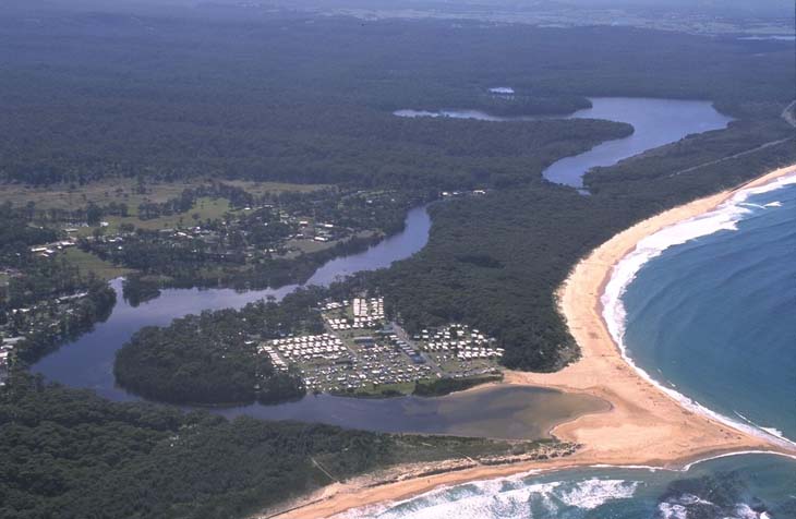
Aerial view of Tabourie Lake estuary.
Local government management
Local councils manage estuaries within their area unless the estuary is attached to a marine park. Shoalhaven City Council manages this estuary.
Threatened species
Estuaries provide an important protected environment for salt-tolerant plants like sea grasses and mangroves.
Read more about the biodiversity in our estuaries.