Broken Bay is a large oceanic bay located about 50 kilometres north of Sydney. It separates Greater Sydney from the Central Coast and is the first major bay north of Sydney Harbour.
Broken Bay is the meeting of the Hawkesbury River, Pittwater, and Brisbane Water. The area has high recreational value and high economic value in prawn, lobster and various fin fish commercial fisheries in Broken Bay and surrounding waters.
Water quality
Broken Bay has not been sampled as part of our monitoring program. We monitor water quality in Pittwater, Hawkesbury River and Brisbane Water, the main tributaries of Broken Bay. These tributary estuaries were last sampled in 2020–21.
The report card shows the condition of the estuary was good with:
- algae abundance graded fair (C)
- water clarity graded excellent (A)
- overall estuary health graded good (B).
Grades for algae, water clarity and overall are represented as:
- A – excellent
- B – good
- C – fair
- D – poor
- E – very poor.
Go to estuary report cards to find out what each grade means, read our sampling, data analysis and reporting protocols, and find out how we calculate these grades.
As part of our Beachwatch program we assess swimming suitability at 3 swimming sites in Broken Bay using microbial indicators. Central Coast Council collect samples at each site weekly between October and April, and monthly from May to September, to calculate the suitability grade. Sampling is ongoing. Each grade reflects the most recent 100 water quality results to April 2021. Find out more about how we monitor beach water quality.
Central Coast local government area swimming sites
| Swimming site name | Grade |
|---|---|
| Pearl Beach Rockpool | Good |
| Umina Beach | Good |
| Ocean Beach | Good |
Estuarine, lake and lagoon water can sometimes be unsuitable for swimming, especially after rainfall when stormwater and wastewater can overflow into swimming areas. Learn more about what the grades mean and how we grade swimming sites on the Beachwatch How we report webpage. Water sampling and laboratory analysis were funded by Central Coast Council.
Physical characteristics
| Estuary type | Drowned valley |
|---|---|
| Latitude | –33.56 (ºS) |
| Longitude | 51.34 (ºE) |
| Catchment area | 12.9 km2 |
| Estuary area | 17.1 km2 |
| Estuary volume | 167,615.0 ML |
| Average depth | 9.8 m |
Notes: km2 = square kilometres; m = metres; ML = megalitres.
Land use
The Broken Bay catchment is a low to moderately disturbed. Urban residential areas are mostly located to the north of the bay in Umina and to the west surrounding Pearl Beach. A number of forested conservation areas are located within the catchment.
National and marine parks
- Brisbane Water National Park is the largest conservation area situated on the north-west foreshore of Broken Bay.
- Bouddi National Park is located to the north-east and Ku-ring-gai Chase National Park is south of the bay.
- There is no marine park associated with this estuary.
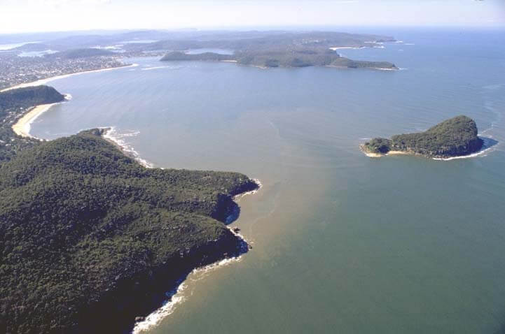
Aerial view of Broken Bay estuary.
Local government management
Local councils manage estuaries within their area unless the estuary is attached to a marine park. Central Coast Council manages this estuary.