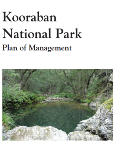
Kooraban National Park Plan of Management
Kooraban National Park extends from the edge of the Narira Creek valley in a north-westerly direction for a distance of 20 kilometres to the banks of the Tuross River, and forms part of an east-west link between the protected areas of the coast and the Monaro tablelands. It contains most of the upper catchment of Dignams Creek, which is a major tributary of Wallaga Lake, four regionally significant vegetation communities and habitat for 20 species of threatened animals, including koalas, spotted-tailed quolls, long-nosed potoroos and southern brown bandicoots.
The park is part of the traditional country of the Yuin Aboriginal people, and many of the roads, walking tracks and bridle trails in the park follow the routes of Aboriginal pathways linking the coast with the Monaro tablelands.
