Kemendok National Park Plan of Management
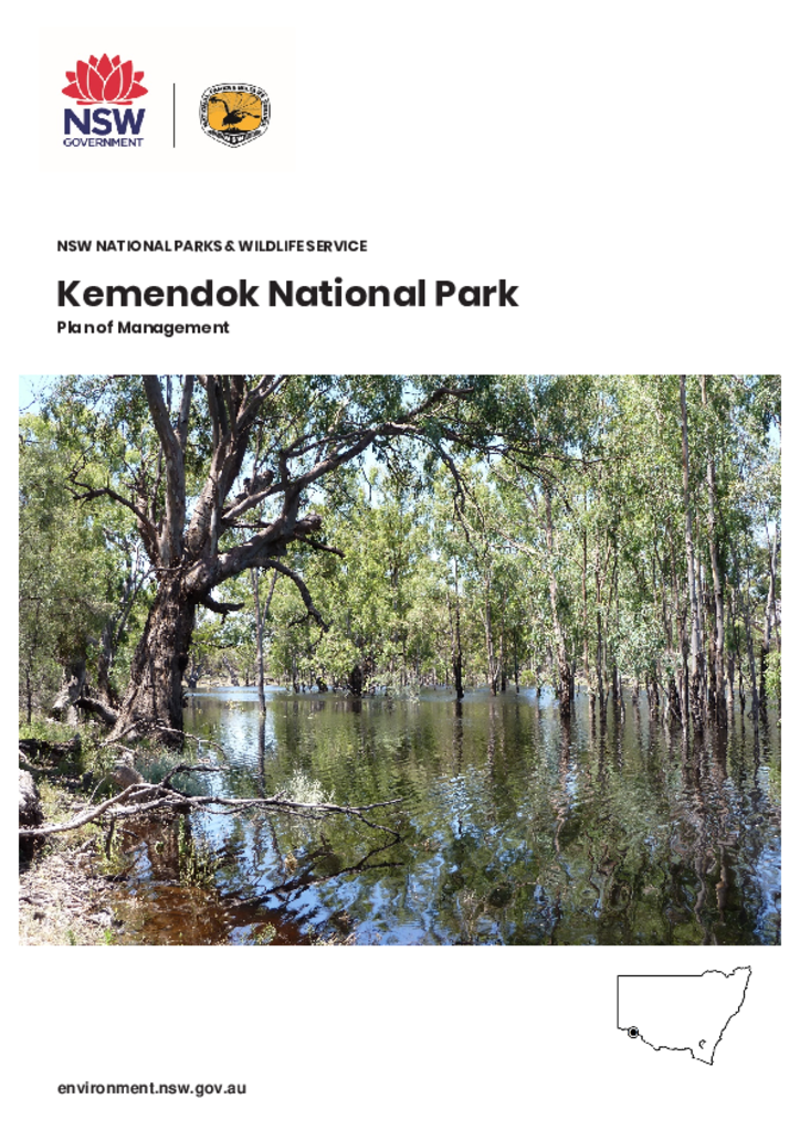
Kemendok National Park lies in the Murray Channels and Floodplains subregion of the Riverina Bioregion, which has a very low percentage of land reserved for conservation. The park was formerly a state forest but now protects regionally significant vegetation types including river red gum and black box woodlands, and chenopod and mallee shrublands. Several threatened plant and animal species are also found there.
In earlier times the Murray River provided significant resources for Aboriginal people and there is evidence of Aboriginal occupation and use in the park.
Visitors to Kemendok National Park can experience nature-based recreation such as camping, fishing, horse riding, walking and birdwatching. This is the first plan of management for this park.