On 8 August 2023, the Macquarie-Cudgegong Environmental Water Advisory Group met online for an update on current environmental water operations and how they were tracking against the annual environmental watering objectives and actions for the current water year.
Catchment update
Since 1 July, 17 gigalitres of Translucent Environmental Water Allowance has inundated parts of the Macquarie Marshes. Translucent flow is released subject to a set of rules in the Macquarie-Cudgegong Water Sharing Plan and does not include licensed water for the environment. The arrival of the translucent flow and the outcomes it achieved in the Macquarie Marshes allowed environmental water managers to defer the release of the planned ‘spring pulse’ until early September 2023.
Data from early winter 2023 revealed the area inundated in the Macquarie Marshes was 20,000 hectares. This is considered an underestimate because the thick ground cover plus dormant vegetation in reedbeds and mixed marsh areas is likely masking inundation signals. The Department of Planning and Environment is working with multiple lines of evidence to improve inundation mapping based on winter vegetation.
Operational outlook
The weather outlook is for below median rainfall and above median maximum temperatures from September to November 2023.
On 1 August 2023, there was 441 gigalitres of general security water in the environmental account in the Macquarie valley. Approximately 200 gigalitres may be used in the 2023–24 water year to build ecological resilience in the Macquarie River system. This was endorsed at the previous meeting of the catchment’s Environmental Water Advisory Group, and by the NSW Water for the Environment program and the Commonwealth Environmental Water Holder. A further 240 gigalitres can be carried over for use in subsequent water years.
On 1 August 2023, Cudgegong environmental account balances totalled 24,322 megalitres. Environmental flows are planned for the regulated Cudgegong River to support native fish. A flow pulse for spring 2023 will provide a boost to river productivity, increasing food for native fish. This flow will be followed by stable nesting flows over summer 2023–24, which will provide more habitat for nesting Murray cod and catfish.
Fish numbers in the Cudgegong reach have recently been surveyed. This data will be used as a baseline for future fish monitoring to measure the effectiveness of planned environmental flows in the Cudgegong River.
Oxley break update
Construction of a structure is planned at Oxley break. The aim is to stabilise bed erosion along Oxley Break and to restore the eroded stream between the Macquarie River and Bulgeraga Creek. A fishway will be incorporated into the design.
Macquarie Marshes depth loggers update
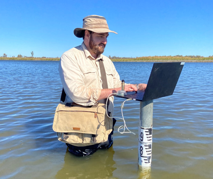
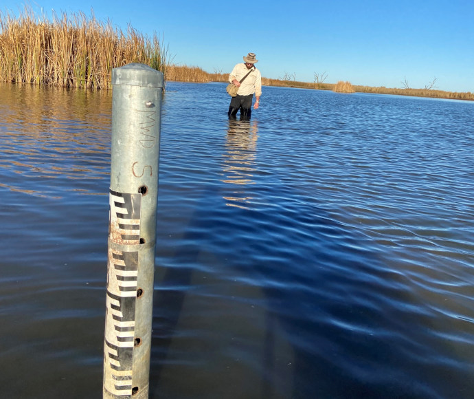
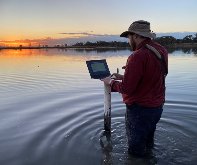
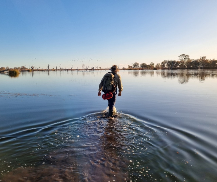
In 2019, NSW Water for the Environment installed a network of water depth loggers throughout the Macquarie Marshes. The data loggers take 2 readings per day. In July 2023, program staff checked and read depth loggers in the deepest parts of the Macquarie Marshes. The data will inform inundation mapping, monitoring and the use of water for the environment in the Macquarie Marshes. A further 15 loggers are planned to be installed in the Macquarie Marshes, pending weather and access.


