Mount Canobolas State Conservation Area Planning Considerations
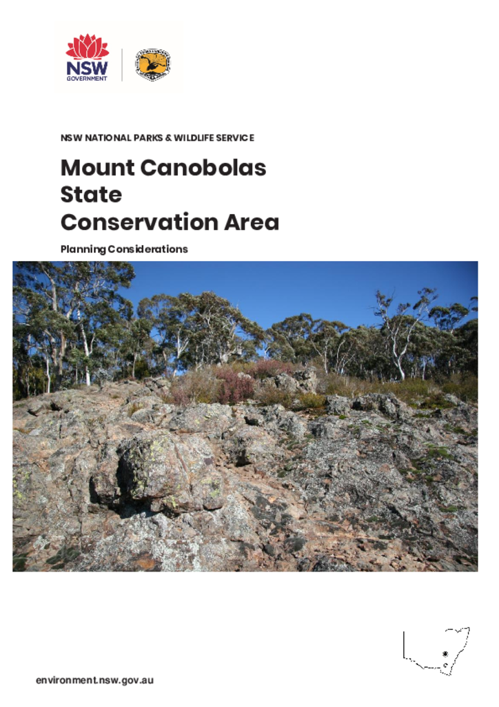
Mount Canobolas is an extinct volcano and, with a height of 1397 metres above sea level, it and its surrounding peaks are an important and monolithic landmark of the Central West. Views to Mount Canobolas from Orange and surrounds are striking.
The park contains one of the few subalpine areas in the Central West. Its isolation appears to have allowed the evolution of some unique plants and animals, distinct from similar species elsewhere in New South Wales.
The park is in the administrative areas of Cabonne Shire, the Orange Local Aboriginal Land Council and the Central Tablelands Local Land Services region.
This document relates the matters considered in preparing the Mount Canobolas State Conservation Area Draft Plan of Management. Matters that need to be considered when preparing plans of management are set out in Section 72AA(1) of the National Parks and Wildlife Act 1974.
This document should be read in conjunction with the Mount Canobola State Conservation Area Plan of Management (2019).