Wondoba State Conservation Area Plan of Management
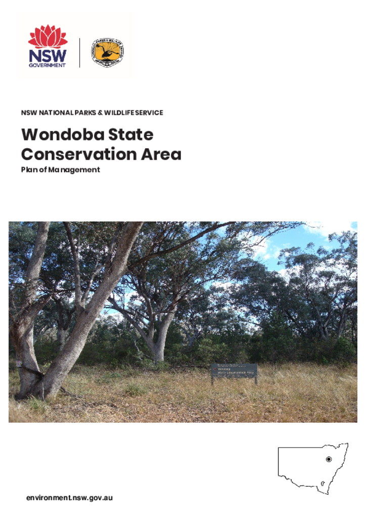
Wondoba State Conservation Area is located approximately 13 kilometres south-west of Gunnedah on the Wandobah Road. The park is 1,669 hectares and has a boundary 26.6 kilometres in length.
Publisher: Department of Planning, Industry and Environment
Cost: Free
Language: English
ISBN: 978-1-922317-18-6
/
ID: EES20190538
File: PDF 1.04 MB / Pages 28
Name: wondoba-state-conservation-area-plan-of-management-190538.pdf
The park forms part of a chain of reserves stretching the length of the Brigalow Belt South Bioregion. It provides some connectivity in a highly cleared and fragmented landscape and a representative sample of the uncleared vegetation of the local area.
Wondoba State Conservation Area was formerly state forest and was established under the Brigalow and Nandewar Community Conservation Area Act 2005.
The park protects White Box – Yellow Box – Blakely’s Red Gum endangered ecological community and several threatened animal species.
Wondoba State Conservation Area also protects Aboriginal heritage and provides an important connection to Country for the Gamilaraay (Gomeroi) Aboriginal People.