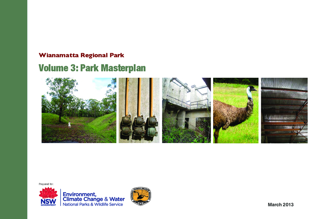
Wianamatta Regional Park: Volume 3 - Park Masterplan
The Wianamatta Regional Park (WRP) covers approximately 900 hectares of the former Australian Defence Industries (ADI) site at St Marys in Western Sydney. The site sits approximately 45 kilometres (kms) west of the Sydney CBD and is located 5 Kms north-east of Penrith and 12 kms west of Blacktown.
Publisher: Office of Environment and Heritage
Cost: Free
Language: English
ISBN: 978-1-74359-382-0 / ID: OEH20140043
File: PDF 12.63 MB / Pages 117
Name: wianamatta-regional-park-park-masterplan-140043.pdf
The overall ADI site has an area of 1545ha, and stretches roughly 7 kms east to west and 2 kms north to south. The residential suburbs of Willmot, Shalvey, Lethbridge Park, St Marys, Werrington County, Werrington Downs, Cambridge Gardens and Cranebrook bound the site to the south, west and east while the areas of Llandilo and Shanes Park lie to the north of the site and are rural in nature (refer Figure 1.2). The site sits within two local government areas, the eastern portion is within Blacktown City Council area while the west is governed by Penrith City Council. The Park is also within the traditional Darug Aboriginal country and the Deerubbin Local Aboriginal Land Council area.
