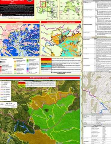
Barrington Tops National Park and Surrounding Reserves Fire Management Strategy
This fire management strategy incorporates Barrington Tops State Conservation Area, Mount Royal National Park, Running Creek Nature Reserve, Killarney Nature Reserve, Monkerai Nature Reserve and Black Bulga State Conservation Area.
Publisher: Department of Environment and Climate Change NSW
Cost: Free
Language: English
ISBN: 978-1-74122-659-1 / ID: DEC20070548
File: PDF 3.62 MB / Pages 1
Name: barrington-tops-national-park-reserves-fire-management-strategy-sheet-1-070548.pdf
This fire management strategy provides information for managing outbreaks of fire, operational guidelines for hazard reduction work and information to help assess bushfire threats.
There are eight maps in total. You can download the maps individually using the links below:
- Map 1 (PDF 3.7MB)
- Map 2 (PDF 3.6MB)
- Map 3 (PDF 3.2MB)
- Map 4 (PDF 3.1MB)
- Map 5 (PDF 3.2MB)
- Map 6 (PDF 2.9MB)
- Map 7 (PDF 2.2MB)
- Map 8 (PDF 2.1MB)
The local NPWS office contact details displayed on this fire management strategy may be out of date. For the most up-to-date contact information search the national parks offices list.
