About the bioregion
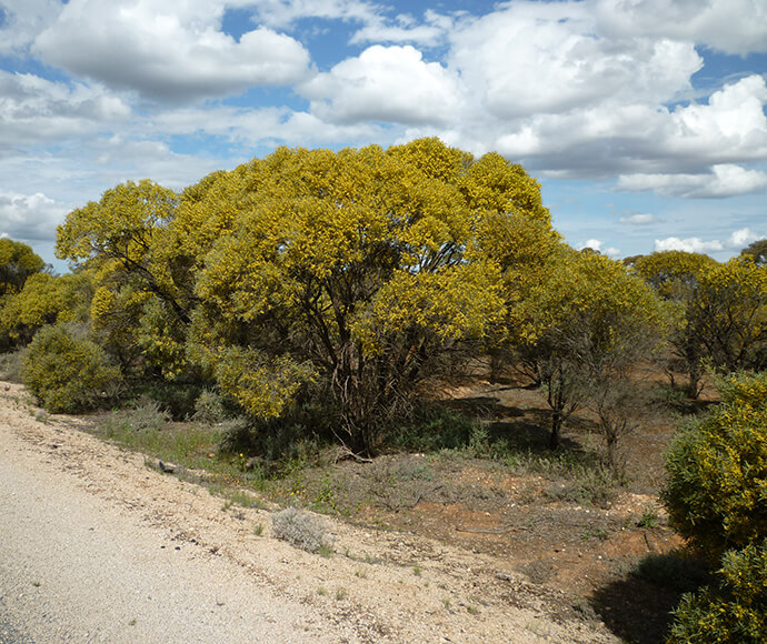
The Murray Darling Depression Bioregion lies in the southwest corner of New South Wales and extends into Victoria and South Australia.
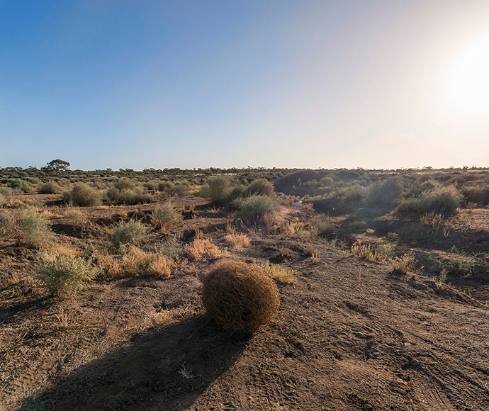
This bioregion is in the Western Division of New South Wales and is dominated by a hot semi-arid climate in the north and a warm semi-arid climate in the south and eastern section. Ivanhoe is the major town.
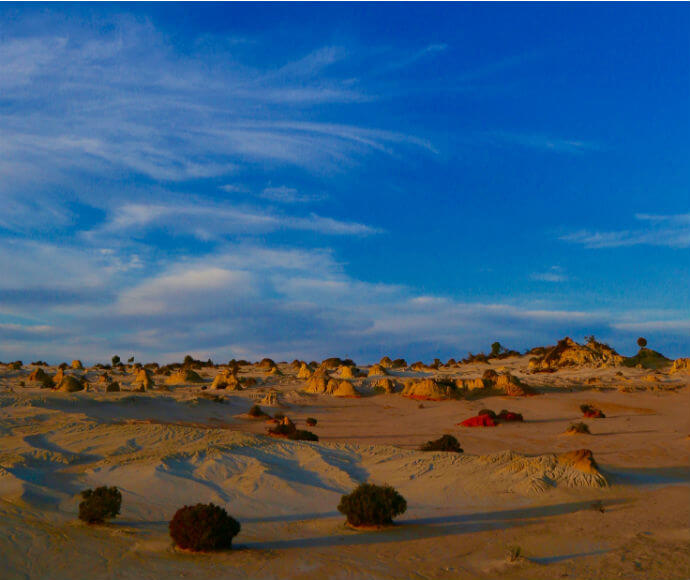
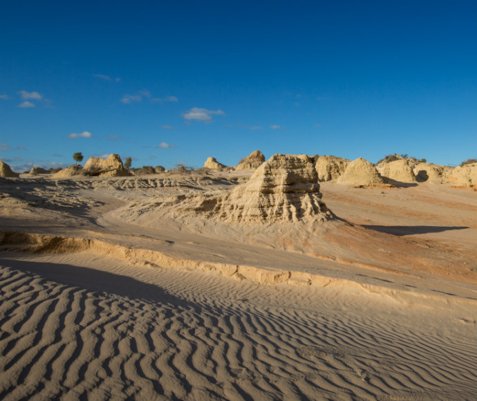
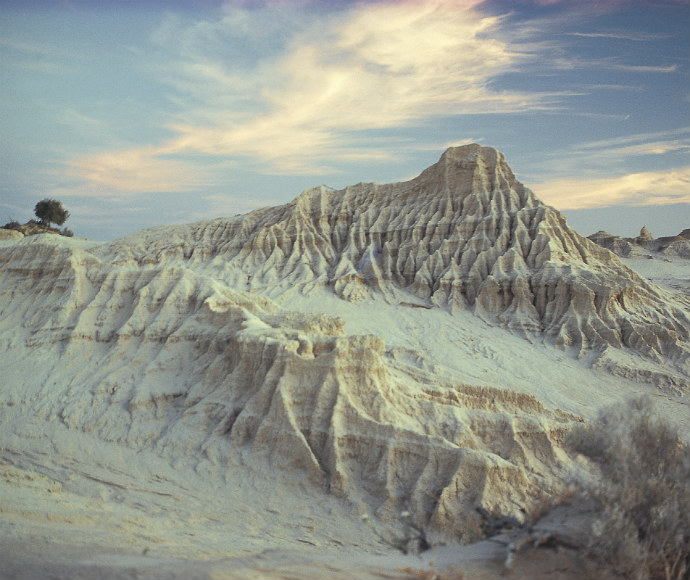
There are a number of nature reserves, including the World Heritage listed Willandra Lakes Region. Mungo and Mallee Cliffs national parks are also in this bioregion.
The bioregion includes the Murray, Murrumbidgee, Lachlan, Darling, Barwon, Yanda River and Peacock Creek catchments.
Read Chapter 7, the Murray Darling Depression Bioregion, in Bioregions of New South Wales: Their biodiversity, conservation and history for more information.
Bioregion area
- 19,958,349 hectares in total
- 7,949,169 hectares in New South Wales
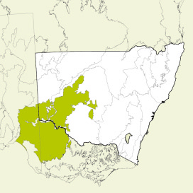
Map showing the Murray Darling Depression bioregion
Parks, reserves and conservation areas
This bioregion includes:
