Nangar National Park Plan of Management
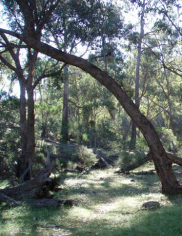
Nangar National Park protects an area of remnant woodland on a range of low to rolling hills. The park has value as a scientific reference area because it protects a sample of the original plant and animal communities of the Central West region. It contains a range of native plant communities, including at least 4 plant species that are restricted to the central west of NSW, and a diverse vertebrate fauna of 189 identified species, including 147 bird species. Three animal species found on the park are listed under the Threatened Species Conservation Act 1995, and there are a large number of fauna species at or near the limits of their known distribution.
The cliff line of red siltstone is a prominent landscape feature in the district and of cultural value to the local Aboriginal community. In addition, the park contains buildings and other features remaining from European agricultural activities and evidence of Chinese mining activities from the early 1900s.
The National Parks and Wildlife Act 1974 requires that a plan of management be prepared for each national park. A plan of management is a legal document that outlines how the area will be managed in the years ahead.
Photo: Nangar National Park. Credit: Amanda Lavender/OEH.
