Nocoleche Nature Reserve Plan of Management
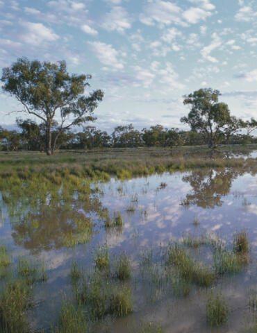
Although the floodplains of the Paroo and Warrego Rivers in this arid region arguably constitute the largest wetland areas in New South Wales, they are not well-represented in the national parks reserve system. Nocoleche contains wetlands filled by local rainfall, floodplains and permanent waterholes of the Paroo River.
The reserve has a significant diversity of wetlands which provide habitat for a wide range of aquatic animals and plants, including a number of plant and animal species that are endangered, vulnerable or of conservation concern at national, state or regional level. As a nature reserve it is a valuable area for scientific research on permanent and ephemeral wetlands and on plants and animals dependent on river flows throughout the catchments.
Nocoleche also contains many Aboriginal sites which indicate the importance of the river and wetlands as a vital resource to Aborigines before European settlement.
Photo: Nocoleche Nature Reserve. Credit: Joel Winter/OEH.